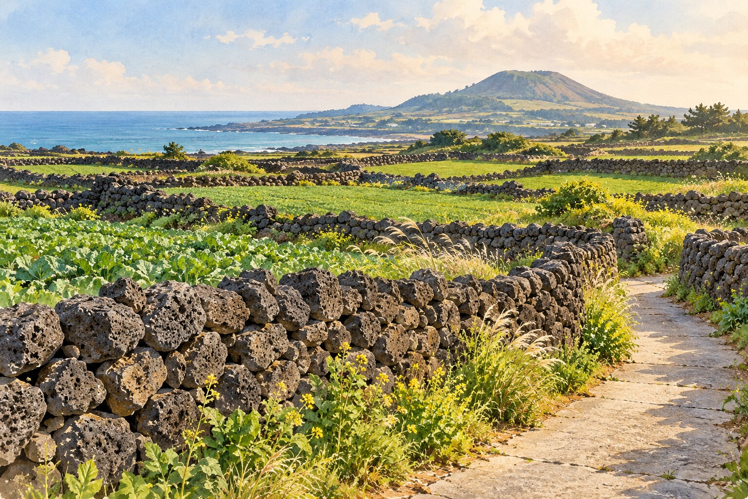
In a photograph of Jeju, the dark stone walls often become part of the background. Look closer, and they raise an interesting question: why leave so many gaps in a wall on a windy island? Jeju batdam offers an answer rooted in farming, local materials and generations of practical work.
A field wall, not just a picturesque boundary
Bat (밭) means a cultivated field, and dam (담) means a wall. Batdam belongs to the wider family of Jeju stone walls, but the word points specifically toward farmland. Calling every stone wall on the island a batdam misses the different jobs those walls do.
The Food and Agriculture Organization describes these walls as an adaptation to Jeju’s volcanic ground and strong winds. Stones gathered from fields and nearby land became part of the farming infrastructure: boundaries that helped shelter crops and limit soil loss. The Jeju Batdam Agricultural System received FAO recognition as a Globally Important Agricultural Heritage System in 2014.
Why the gaps are part of the design
The irregular volcanic stones do not fit together like identical bricks. Openings remain between them. FAO’s account connects those openings with the walls’ ability to withstand the wind. The aim is useful shelter in a working landscape, rather than a completely airtight barrier.
This changes how you read the view. Instead of seeing a rough version of a solid wall, you can see a structure responding to the material and the weather. A small gap that looks unfinished in a close-up photograph may belong to the wall’s practical logic.
Three details to notice from the path
- The stone: Compare shapes and surface textures without removing or rearranging anything.
- The line: Follow the wall with your eyes. Notice how it divides the space and where access to the field has been left.
- The surroundings: Include crops, a lane and the wider terrain in your view. The wall makes more sense as part of a field than as an isolated object.
Try taking two photographs from a permitted spot: one close view of the stonework and one wide view of the fields. The first shows construction; the second shows purpose. You do not need to step into the crops to tell that story.
Finding a walk that tells the story
The official Visit Jeju guide introduces designated batdam trails, including Jinbille in Woljeong-ri and Gamsugul in Pyeongdae-ri. These offer starting points for learning about the landscape rather than searching for an attractive wall and assuming the adjoining field is open to visitors.
Choose one route that fits your transport plans, then check the current trail information and local signs. A line on a map does not settle whether a particular shortcut is public. Allow time to return to your bus stop or parking area, and keep farm entrances clear.
Beautiful does not mean abandoned
Keep both feet on the walking route. Do not climb a wall for a photograph, move stones to make a seat, or balance equipment on the top. Ask before photographing someone at work. If a farm vehicle approaches on a narrow lane, find a safe place to let it pass.
A useful question for a local guide is: “What does this wall do for this particular field?” The answer may help you connect an attractive shape with the work needed to maintain it. That is the rewarding shift batdam invites: looking at a landscape as someone’s livelihood, as well as somewhere you are visiting.
Sources: FAO: Jeju Batdam Agricultural System; Visit Jeju: Batdam Trails. Featured image: original AI-generated conceptual illustration, not a photograph of a named trail.